In recent years, the rise of drones has revolutionized various industries, ranging from aerial photography and delivery services to agriculture and infrastructure inspection.
However, with the increasing number of drones taking to the skies, ensuring safety and control has become a paramount concern. That’s where geofencing comes into play. So, what is geofencing on a drone?
Geofencing is a technology that acts as a virtual barrier, defining specific boundaries for drones to operate within. By utilizing GPS and other positioning technologies, geofencing enables drone operators to establish virtual perimeters and set limitations on their drone’s flight paths. This innovative system offers an array of benefits, from preventing unauthorized access to sensitive areas to enhancing safety for both the drone and its surroundings.
In this blog post, we will know how geofencing works. We will also examine the various applications of geofencing and discuss the benefits and drawbacks that come along with geofencing.
By the end, you’ll have a comprehensive understanding of geofencing and its significance in responsible drone operations.
How does Geofencing work?
Geofencing is a technology that enables the control and monitoring of drones based on their location.
While many people associate geofencing exclusively with GPS systems, the reality is that any location technology, including WiFi, RFID (Radio Frequency Identification), cellular data, or Bluetooth beacons, can be used to enable geofencing. In fact, these alternative signals often offer superior battery efficiency compared to GPS.
When it comes to drones, geofencing works by establishing communication between the drone’s software and the geofencing application.
Drones in the vicinity of a geofence continuously communicate their positions to the application, which keeps track of their locations. Each time a drone penetrates a geofence, the application triggers a specified action.
In certain cases, controlled airspaces have two geofences. When the first geofence is breached, the triggered action is typically to send a warning message to the drone pilot. This gives them the opportunity to turn away and avoid further trouble.
However, if the drone pilot ignores the warning and proceeds to breach the second geofence, the geofencing system often takes over, bringing the drone down to the ground automatically, outside of the pilot’s control.
Most commercially available drones come with built-in geofencing software. These systems are typically integrated with a digital airspace map that defines controlled and restricted zones for drones.
In some cases, it is possible to obtain legal approval to fly a drone through controlled airspaces, provided certain conditions are met. The approval process usually involves providing information about the drone’s identification or serial number, the pilot’s identity, and the reason for flying the drone in sensitive airspace.
If authorization is granted, the drone may fly within the controlled airspace as long as it adheres to any specified limitations, such as altitude and boundary restrictions.
Geofencing technology enhances safety and regulatory compliance in drone operations. By utilizing various positioning technologies, geofencing systems create virtual perimeters that allow for precise control over where drones can operate. This helps prevent drones from entering restricted areas, such as airports, military installations, or other sensitive locations.
Geofencing system also plays a crucial role in protecting privacy by preventing drones from encroaching on private properties without consent.
In addition to safety and privacy considerations, geofencing technology also aids in flight planning and navigation.
While geofencing is a valuable tool in enhancing drone safety and control, it is important to note that the effectiveness of geofencing can be influenced by factors such as GPS accuracy, signal interference, and the evolving nature of regulations.
Additionally, geofencing should be used in conjunction with other safety measures and drone operator responsibility to ensure the safe and responsible use of drones.
Geofencing Applications and Use Cases
Geofencing on drones has found a myriad of applications across various industries.
Let’s explore some of the key use cases where geofencing technology plays a significant role:
Commercial and Industrial Applications
Aerial Photography and Videography: Geofencing allows drone operators to define precise flight boundaries for capturing stunning aerial shots, ensuring the drone remains within a designated area and avoids any restricted area.
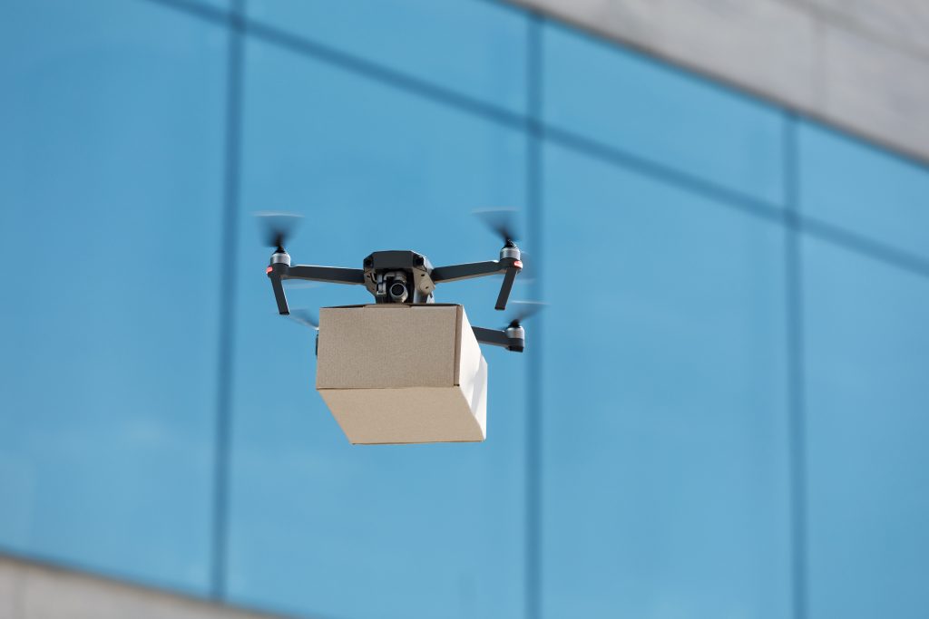
Delivery Services and Logistics: Geofencing enables efficient and secure delivery operations by setting specific routes and delivery zones. Drones can be programmed to operate within predefined boundaries, ensuring safe and timely deliveries.
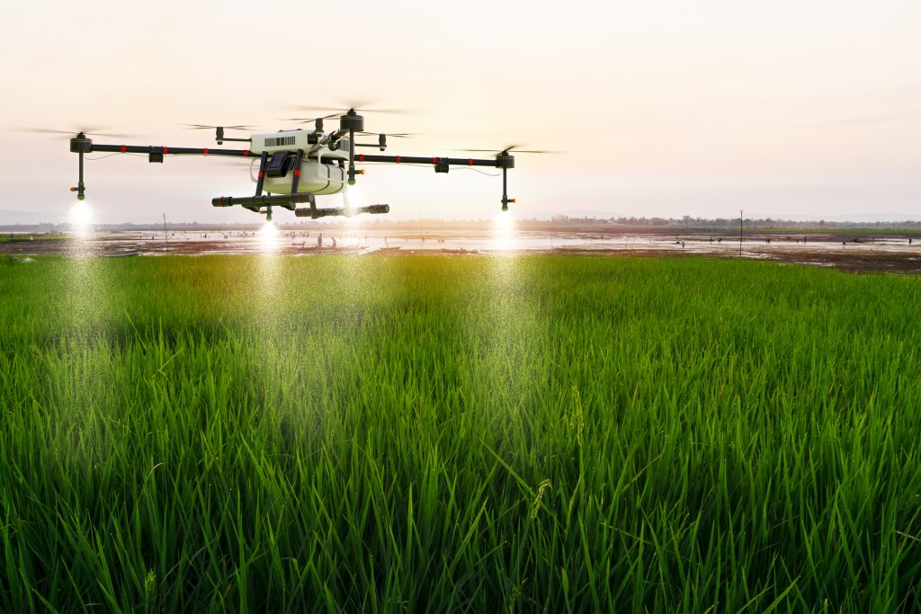
Agriculture and Crop Monitoring: Geofencing helps optimize agricultural practices by defining flight paths for crop monitoring, applying pesticides, or collecting data on plant health. Drones can be programmed to cover specific areas or avoid sensitive regions such as protected habitats.
Construction and Infrastructure Inspection: Geofencing assists in monitoring construction sites and inspecting infrastructure, such as bridges, towers, and pipelines. Drones can be restricted from flying near active construction areas or hazardous zones, enhancing safety and surveillance capabilities.
Recreational and Hobbyist Applications
Racing and Aerial Acrobatics: Geofencing is used to establish race tracks or designated areas for drone racing, ensuring pilots operate within a predefined space, enhancing safety and minimizing the risk of collisions.
Photography and Videography: Geofencing allows hobbyist drone pilots to define flight boundaries for capturing aerial photographs or videos, ensuring compliance with airspace regulations and respecting privacy.
Geocaching and Treasure Hunting: Geofencing can be utilized to create virtual boundaries for geocaching or treasure-hunting activities, providing participants with specific areas to explore and discover hidden treasures.
Nature and Wildlife Observation: Geofencing helps protect wildlife habitats and sensitive ecosystems by restricting drones from entering designated conservation areas. Drone operators can observe wildlife from a safe distance without causing the disturbance.
These are just a few examples of the diverse applications of geofencing on drones. As technology advances and regulations evolve, the potential use cases for geofencing will continue to expand, further enhancing safety, control, and the responsible integration of drones into various industries and recreational activities.
Benefits of Geofencing
Geofencing technology offers numerous benefits, particularly in the context of drone operations.
Pilot Accountability
Geofencing plays a crucial role in ensuring responsible and ethical drone use.
By defining virtual boundaries around private properties or areas where drone flights are prohibited, geofencing protects privacy and prevents intrusion.
This promotes responsible behavior among drone operators, reinforcing the importance of respecting personal space and property rights.
Safe Flying
One of the primary benefits of geofencing is enhanced safety in drone operations. Geofencing technology helps prevent accidents, collisions, and unauthorized access to sensitive areas by establishing virtual barriers and enforcing flight restrictions. By integrating geofencing into drones, operators gain an additional layer of protection and control over their aircraft.
Geofencing ensures that drones do not enter restricted area, such as airports or critical infrastructure zones, reducing the risk of mid-air collisions or interference with manned aircraft. This promotes safe coexistence between drones and other airspace users, enhancing overall aviation safety.
Additionally, geofencing assists in preventing drones from flying in hazardous or dangerous locations. By setting up geofences around areas with potential risks, such as active construction sites or emergency response scenes, drones are kept at a safe distance, minimizing the likelihood of accidents or disruption to ongoing operations.
Furthermore, geofencing contributes to safe flying by providing operators with precise control over flight paths and boundaries. Operators can define specific routes and waypoints for their drones, ensuring they stay within designated areas and avoid obstacles or no-fly zones. This allows for better planning, maneuverability, and overall flight safety.
Airspace Safety
Geofencing systems can also define no-fly zones and implement altitude restrictions, ensuring that drones do not venture into areas where they may pose a safety hazard. This enhances the overall safety and integrity of the airspace by providing a safeguard against unauthorized or unsafe drone operations.
Airspace Privacy
By defining geofences around private residences, businesses, or other areas where privacy is paramount, geofencing technology ensures that drones respect personal space and do not capture or transmit images or data in prohibited zones. This helps alleviate privacy concerns and fosters a sense of security among individuals and communities.
Inhibition of Illegal Activity
In the early days of commercially available drones, they were widely used by criminal elements for illicit activities like smuggling drugs across borders and transporting contraband items to and from prisons. However, geofencing technology has played a significant role in inhibiting such illegal activities. By establishing virtual boundaries and geofences, geofencing technology has become a powerful tool in preventing drones from being used for unlawful purposes.
Drawbacks of Geofencing
While geofencing technology offers numerous benefits, it also has certain drawbacks and limitations. It’s important to be aware of these factors when considering the implementation of geofencing systems.
Let’s see the drawbacks of geofencing in detail:
Accuracy and Reliability
Geofencing relies on the accuracy and reliability of positioning technologies, such as GPS. However, there can be instances where GPS signals are weak or inconsistent, leading to potential inaccuracies in geofence detection. This can result in false positives or false negatives, triggering actions or failing to detect actual boundary crossings accurately.
Pre planned flights
Geofencing introduces additional planning and preparation requirements for drone flights, which can diminish the spontaneity and freedom typically associated with flying drones. This is because geofencing necessitates prior knowledge of restricted areas and predefined flight boundaries, eliminating the ability for impromptu stop-and-fly flights that many drone enthusiasts enjoy.
Time-Sensitive Operations
One of the notable drawbacks associated with geofencing technology is its impact on time-sensitive flights. As the use of drones in emergency services, such as Search and Rescue, Law Enforcement, and Firefighting, becomes more prevalent, the need for immediate drone deployment in critical situations arises.
In emergency scenarios, every moment counts, and the time spent unlocking the geofencing restrictions can potentially mean the difference between life and death.
Let’s consider a house fire situation as an example.
Modern drones equipped with advanced technology, such as infrared camera systems, have the ability to see through smoke, providing a clear view of the surroundings. However, firefighters on the ground may be hindered by the dense smoke, limiting their visibility and making it challenging to identify potential victims.
In this context, having a drone with infrared capabilities in the air could be invaluable. The drone could quickly identify individuals who may be trapped or in need of assistance, even if they are not immediately visible to the firefighters. By providing real-time information and situational awareness, the drone could aid in the timely rescue of individuals, potentially saving lives.
However, the presence of geofencing restrictions could delay the deployment of the drone in critical situations. The process of unlocking the geofencing parameters, obtaining necessary permissions, or overriding the boundaries can consume valuable time. This delay may hinder the immediate response that is crucial in emergency situations.
Furthermore, geofencing limitations can impede the flexibility and adaptability required during time-sensitive flights. Emergency situations often demand rapid decision-making and dynamic adjustments to flight paths or operating parameters. Geofencing systems, with their predefined boundaries and restrictions, may hinder the ability to swiftly respond to changing circumstances or unforeseen obstacles during emergency operations.
It’s important to strike a balance between the safety benefits of geofencing and the need for timely drone operations in critical situations. This could involve streamlined authorization processes, prioritized access for emergency responders, or temporary suspension of geofencing limitations in specific cases.
Do All Drones Have Geofencing?
No, not all drones have geofencing. While geofencing technology has become increasingly prevalent in the drone industry, its implementation varies depending on the drone model, brand, and intended use. Geofencing is more commonly found in commercially available drones, particularly those marketed for consumer and professional use.
Many leading drone manufacturers have integrated geofencing features into their products to promote responsible and safe drone operations. These drones typically come with built-in geofencing software that utilizes GPS or other positioning technologies to establish virtual boundaries and flight restrictions.
However, there are some drones that do not have the geofencing feature.
What are the Drones without Geofencing?
While authorities strongly advise against purchasing drones without geofencing features, there are certain brands in the market that specifically market their drones as being free from geofencing restrictions.
One notable example is Autel, a drone manufacturer that intentionally produces drones without geofencing capabilities. They promote their drones as offering unrestricted flight, providing users with greater freedom and flexibility in their operations. Additionally, GDU 02 and Yuneec Typhoon Q500 are other brands that claim their drones do not come with geofencing restrictions.
The availability of drones without geofencing has sparked controversies regarding the control and monitoring of drone activities. Some individuals who perceive drone flying as a harmless hobby may feel frustrated by these regulations, seeing them as unnecessary limitations on their freedom and enjoyment.
However, it is important to recognize that drones can be utilized for various purposes, and it is difficult to predict or identify who may use them for negative or malicious intentions. Geofencing regulations aim to ensure responsible drone use, protect airspace, maintain privacy, and prevent potential safety hazards or security breaches.
While some individuals may prefer drones without geofencing, it is crucial to consider the broader implications and potential risks associated with unrestricted drone operations. Authorities and industry stakeholders continuously work towards striking a balance between enabling the benefits of drone technology and mitigating potential misuse or harm.
Ultimately, the decision to choose drones without geofencing features rests with the consumer, and it is important for users to understand and comply with the applicable regulations and guidelines when operating drones. Responsible drone flying and adherence to airspace regulations are crucial for ensuring the safety, privacy, and well-being of all individuals and communities.
FAQ on Geofencing
Q: Is geofencing really needed?
A: Yes, geofencing is highly beneficial and necessary in many situations. It helps establish virtual boundaries and enforce compliance with regulations, ensuring safe and responsible drone operations.
Geofencing prevents drones from entering restricted airspace, protects sensitive areas, and promotes accountability among professional drone pilots. It plays a vital role in maintaining airspace safety, privacy, and security.
Q: Can geofencing be overridden or bypassed?
A: While geofencing systems are designed to prevent unauthorized access, it is possible for sophisticated operators to attempt to override or bypass the geofencing restrictions.
However, such actions are illegal and can have severe consequences. Unauthorized manipulation of geofencing systems undermines safety, security, and compliance and can result in penalties or legal repercussions.
Q: Does geofencing restrict drone pilots too much?
A: Geofencing helps establish boundaries and flight restrictions to ensure safe and responsible drone operations. While it may impose some limitations, these restrictions are necessary to prevent unauthorized access to restricted airspace and protect sensitive areas.
Geofencing strikes a balance between the benefits of drone technology and the need for safety, privacy, and compliance with regulations.
Wrap Up
To wrap up, geofencing technology has emerged as a crucial tool in ensuring the safe and responsible operation of drones.
Geofencing technology utilizes GPS and other positioning technologies to define specific flight boundaries for drones. It enables real-time monitoring and enforcement of flight restrictions, preventing drones from entering restricted airspace or encroaching upon private properties without consent. Geofencing enhances airspace safety by reducing the risk of mid-air collisions and interference with manned aircraft, and it contributes to protecting privacy and preventing unauthorized access to sensitive areas.
While geofencing offers significant advantages, it also comes with certain drawbacks. Time-sensitive operations, such as emergency services, may experience delays in deploying drones due to the time required to unlock geofencing restrictions. The pre-planning of flights and the potential limitations on spontaneity may be seen as a drawback for some drone enthusiasts. Additionally, the accuracy and reliability of geofencing systems can be influenced by factors like GPS signal strength and the evolving nature of regulations.
It is important to strike a balance between the benefits and limitations of geofencing, considering the specific needs of drone operators and the requirements of different applications. Geofencing technology should be viewed as a valuable tool in ensuring safety and control, but it should also be complemented with other safety measures and drone operator responsibility.
As the drone industry continues to evolve, geofencing technology is expected to advance further. Integration with advanced technologies improved accuracy and reliability, and enhanced flexibility in time-sensitive operations are areas of potential development.
Overall, geofencing has become an essential aspect of responsible drone operations. By establishing virtual boundaries and enabling precise control over flight paths, geofencing technology plays a pivotal role in enhancing safety, privacy, and regulatory compliance in the rapidly expanding world of drones.