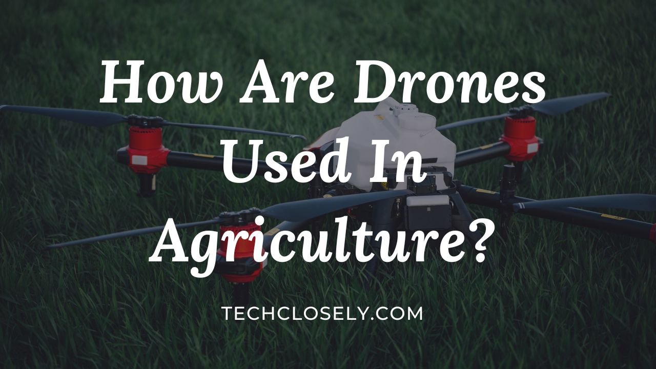
In modern agriculture, drones are soaring to new heights, revolutionizing traditional farming practices. From detailed land imaging to precise soil monitoring and efficient livestock management, these aerial marvels are setting unprecedented benchmarks. Their capabilities extend to crop management, offering solutions to challenges like disease detection, pest control, even planting, and many more.
As we navigate this agricultural renaissance, let’s explore the different application of drones, their benefits, and the future of drones in agriculture.
Diverse Applications Of Drones In Modern Agriculture
Drones are used in land imaging and surveying, soil monitoring and analysis, livestock management, crop management, spraying and irrigation, data collection and analysis, and many more purposes.
Let’s explore each application in detail:
Land Imaging and Surveying
1. The Evolution of Land Imaging:
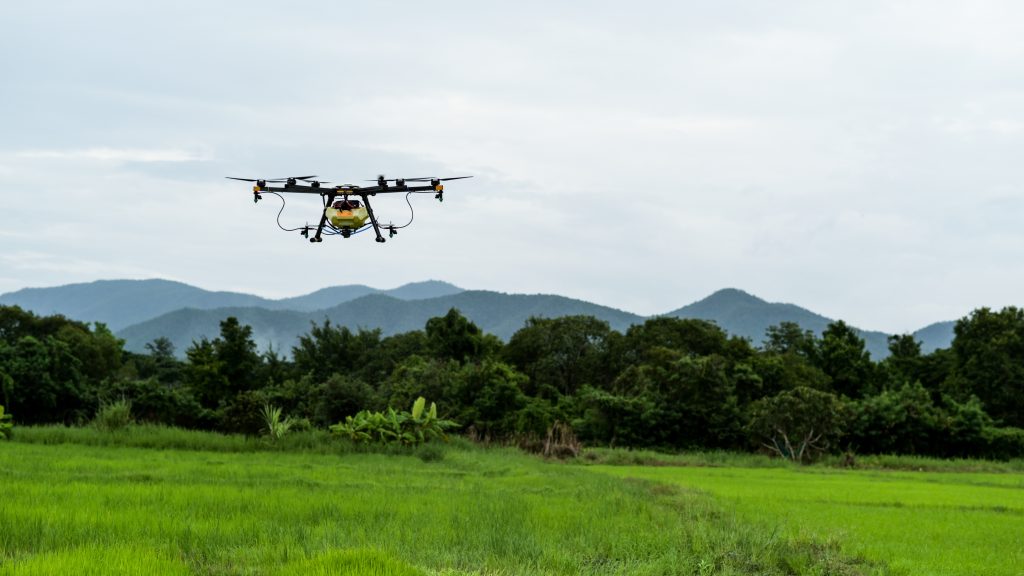
Traditionally, land imaging was a labor-intensive process, often requiring aerial shots from helicopters or planes. Today, drones have revolutionized this domain. Equipped with high-resolution cameras, drones can capture detailed images, offering a bird’s-eye view of vast expanses of land. This not only provides a comprehensive visual representation but also aids in data-driven decision-making.
2. Topographical Surveys:
Topography, the study of Earth’s surface shapes and features, is crucial for various projects, from constructing buildings to planning irrigation systems. Drones have made topographical surveys more efficient and accurate.
By flying over areas and capturing high-resolution images, drones can create detailed 3D models of terrains. These models provide insights into the land’s elevations, depressions, and contours, essential for urban planning, agriculture, and environmental studies.
3. Boundary Demarcation:
Accurate boundary demarcation is vital for legal, developmental, and agricultural purposes. Drones streamline this process.
By following pre-set flight paths, drones can capture images that help in precisely marking land boundaries. This is especially beneficial in regions where traditional boundary markers might be challenging to establish or where disputes over land ownership exist.
4. General Land Imaging:
Beyond topography and boundaries, general land imaging provides a holistic view of an area. This can include understanding vegetation patterns, water bodies, infrastructure, and more. Such imaging is invaluable for sectors like agriculture, where understanding land health, moisture levels, and potential pest infestations can lead to better crop yields.
Soil Monitoring and Analysis
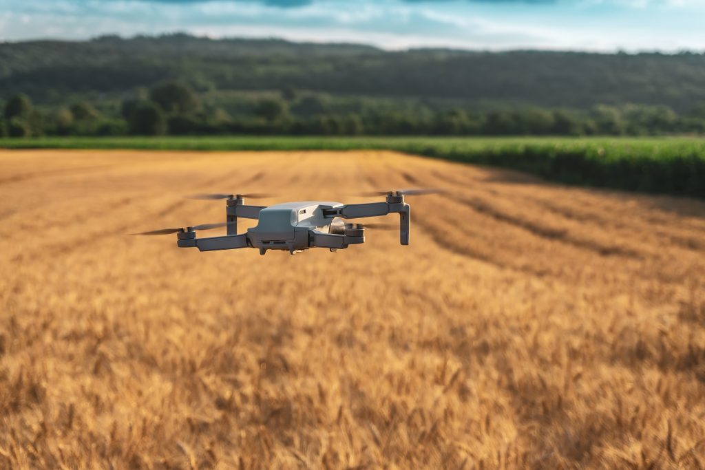
1. Soil Condition Monitoring: Before planting, it’s crucial to understand the soil’s health. Drones equipped with multispectral imaging can capture light sensors, both visible and invisible, within a set range. This allows farmers to gauge the soil’s moisture content, nutrient levels, and overall health. Such insights can significantly influence the choice of crops planted and the fertilization techniques employed.
2. Collecting Soil Samples: While manual collection of soil samples has been the norm, drones have added a layer of efficiency to this process. UAVs or drones can be programmed to collect samples from various parts of a field, ensuring a comprehensive analysis. This not only saves time but also ensures that samples are taken from representative areas, providing a holistic view of the soil’s health.
3. Analyzing Soil Samples: Once the samples are collected, they are analyzed for various factors such as pH levels, nutrient content, and potential contaminants. This unmanned aerial vehicle/drone play a pivotal role here by streamlining the data collection process. Advanced drones come equipped with sensors that can provide real-time data, allowing farmers to make immediate decisions. For instance, if a particular section of the field shows low nitrogen levels, farmers can promptly address the deficiency.
4. NDVI Maps: One of the standout features of agricultural drones is their ability to create Normalized Difference Vegetation Index (NDVI) maps. These maps show the amount of infrared light reflected in an area, indicating malnourishment and drought. According to an Analysis, such data collection can spot problem crops up to two weeks before physical signs emerge. This early detection is invaluable for farmers aiming for a bountiful harvest.
Livestock Management
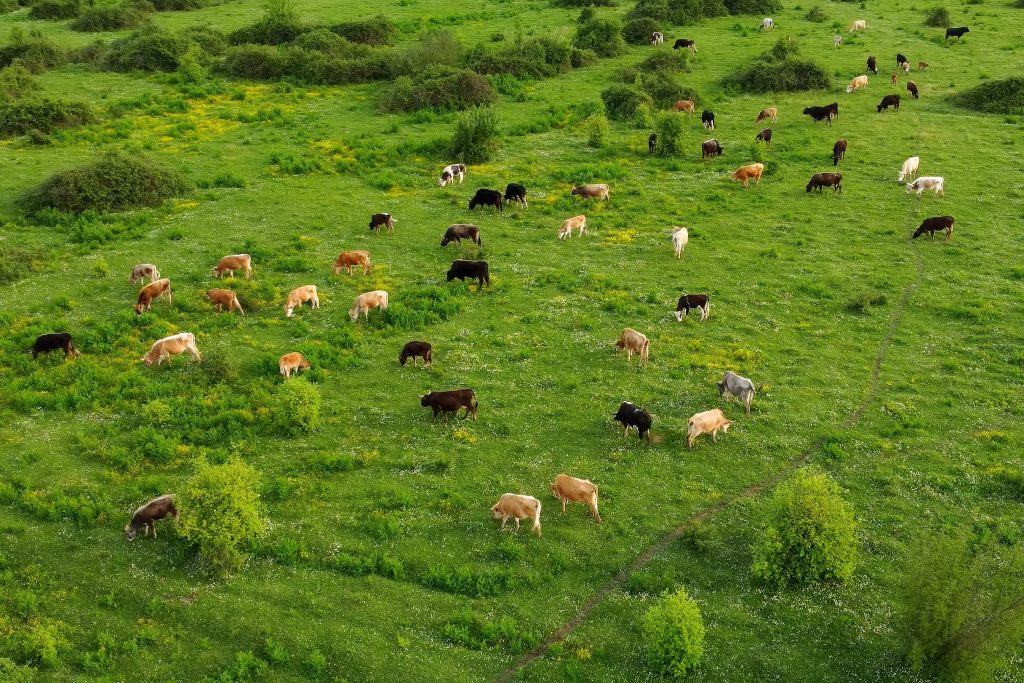
Livestock management is a critical aspect of agriculture, ensuring the well-being of animals and optimizing productivity. With the advent of agriculture drone technology, farmers and ranchers have found innovative ways to enhance their livestock management practices. Such as –
- Monitoring Livestock Movement: Drones equipped with high-resolution cameras offer a bird’s-eye view of vast pastures, allowing farmers to monitor the movement of their livestock. This aerial perspective is especially beneficial in vast ranches where manual monitoring can be time-consuming and labor-intensive.
By using drones, farmers can quickly locate their livestock, ensuring they are within the designated grazing areas and not wandering off into potential danger zones. - Livestock Counting: One of the primary challenges in large-scale livestock farming is keeping an accurate count of the animals. Manual counting is not only tedious but also prone to errors. Drones simplify this task by providing aerial imagery that can be analyzed to count the number of livestock accurately.
- Protection Against Predators: In areas prone to predators, drones can be used for surveillance, especially during the night. Some drones are equipped with deterrents like loud noises or lights to scare away potential threats, ensuring the safety of the livestock.
Crop Management with Drones
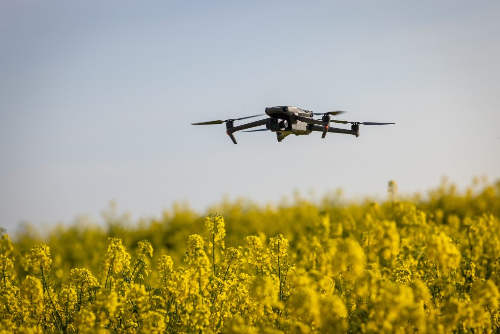
One of the most promising areas where drones are making a substantial impact is crop management. Here’s a closer look:
1. Crop Monitoring:
- Efficiency and Precision: Traditional methods of crop monitoring, such as satellite imagery, had limitations in terms of cost, precision, and timeliness. Drones, on the other hand, can provide high-definition photos, videos, and data within minutes, offering a bird’s-eye view that reveals the bigger picture of crop health and growth patterns.
- Time-Series Animations: Modern drones can produce time-series animations that display the exact development of a crop, highlighting production inefficiencies and enabling better crop management.
2. Disease Detection:
- Health Assessment: Drones equipped with both visible and near-infrared light sensors can identify plants reflecting varying amounts of light. This capability allows for the production of multispectral images that track changes in plants, indicating their health, which may help to detect diseases.
- Rapid Response: Early detection of diseases means farmers can apply remedies more precisely and promptly, increasing a plant’s chances of recovery.
3. Pest Detection:
- Early Identification: Just as with disease detection, drones can spot signs of pest infestations early on, allowing for timely interventions.
- Targeted Treatments: With detailed agriculture drone data, farmers can apply treatments to specific areas, reducing the amount of chemicals used and minimizing environmental impact.
4. Planting Seeds with Drones:
- Some startups have developed drone-planting systems that can shoot pods containing seeds and essential nutrients into the soil. These systems provide the seeds with all the necessary nutrients for growth, achieving an uptake rate of 75% and reducing planting costs by up to 85%.
Spraying and Irrigation
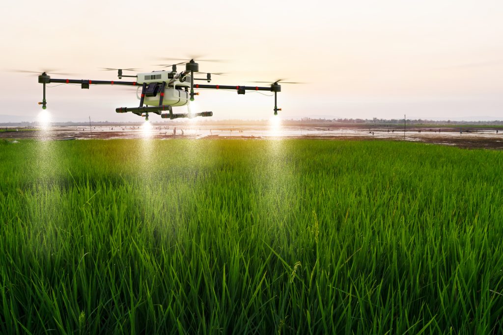
- Precision Drone Spraying: One of the most significant advantages of using drones for spraying is their ability to modulate the amount of liquid sprayed in real-time, ensuring even coverage.
Traditional methods often result in the overuse of chemicals, which can seep into groundwater, posing environmental and health risks.
Drones, equipped with distance-measuring equipment like ultrasonic echoing and LiDAR, can adjust their altitude based on the topography, ensuring precise spraying. This not only conserves resources but also reduces the environmental footprint.
Aerial drone spraying can be accomplished up to five times faster than with traditional machinery. - Irrigation Monitoring: Efficient water management is crucial for sustainable agriculture. Drones, fitted with hyperspectral, multispectral, or thermal detectors, can accurately identify sections of a field that lack moisture or need enhanced irrigation methods.
By calculating the vegetation index, drones can provide insights into the relative density and health of crops. They can also measure the heat signature emitted by crops, offering a comprehensive view of their water needs. - Spot Treatments: Instead of spraying an entire field, drones enable spot treatments of pesticides and fertilizers. This targeted approach minimizes agricultural runoff and chemical drift, safeguarding neighboring crops and preserving soil health. The environmental benefits are manifold, from reducing air-polluting emissions to conserving water.
Data Collection and Analysis
In the digital age, data is often referred to as the ‘new oil,’ and in the realm of agriculture, this analogy holds particularly true. The advent of drone technology has revolutionized the way data is collected, processed, and analyzed in the farming sector. This transformation is not just enhancing productivity but is also paving the way for sustainable and informed agricultural practices.
Let’s explore the multifaceted role of drones in data collection and analysis:
- Multispectral Imaging for Crop Health: Drones equipped with multispectral sensors can capture data beyond what the human eye can see. This capability allows for the detection of issues like water stress, infections, and nutrient deficiencies in crops. This real-time data enables farmers to take immediate corrective actions, ensuring optimal crop health.
- Topographical and Boundary Surveys: Understanding the lay of the land is crucial for effective farming. Drones can create detailed topographical maps, helping farmers understand the nuances of their fields. This drone data is invaluable for tasks like irrigation planning, drainage design, and land leveling.
- Soil Analysis for Tailored Farming: Soil health is the foundation of successful agriculture. Drones can collect soil samples or even use sensors to analyze soil composition from the air. This data-driven approach ensures that crops receive the right nutrients in the right amounts, leading to higher yields and sustainable farming.
- Livestock Monitoring: Beyond crops, drones are also transforming livestock management. As discussed earlier in the post, drones can monitor the movement and count of livestock. This data is crucial for managing the livestock.
- Analytical Insights for Informed Decisions: The true power of data lies in its analysis. Advanced software can process the vast amounts of data collected by drones to provide actionable insights. Whether it’s predicting crop yields, optimizing irrigation schedules, or planning crop rotations, data-driven decisions are setting new benchmarks in agriculture.
Benefits of Drones in Agriculture
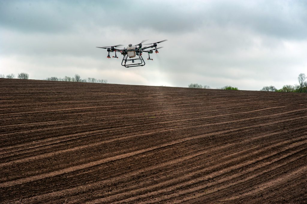
The integration of drone technology into agriculture has ushered in a new era of precision farming. Now, let’s delve into the manifold benefits that drones bring to the agricultural sector.
Improves Crop Yield
One of the most significant advantages of using drones in agriculture is the potential for increased crop yields. Drones equipped with multispectral sensors can monitor crop health in real-time. This allows farmers to detect issues such as water stress or nutrient deficiencies early on, enabling timely interventions. The result? Healthier crops that produce higher yields.
Reduce Cost and Time
Traditional agricultural practices often involve manual labor and time-intensive processes.
However, drones are revolutionizing this landscape. Drones can quickly cover vast stretches of farmland, collecting data efficiently. This not only saves time but also significantly reduces labor costs.
Furthermore, the precision of drones ensures that resources like water, fertilizers, and pesticides are used optimally, leading to cost savings.
Troubleshoot Potential Problems Easily
The ability to detect and address issues early on is a game-changer in agriculture. Drones provide a bird’s-eye view of the entire farm, making it easier to identify potential problems.
Whether it’s a pest infestation, a drainage issue, or soil erosion, drones can pinpoint these challenges swiftly. This proactive approach allows farmers to take corrective measures before minor issues escalate into major problems.
By enhancing yields, reducing costs, enabling proactive problem-solving, and ensuring high-quality produce, drones are redefining the contours of modern farming. As the world moves towards sustainable agricultural practices, drones are poised to play a central role in this journey.
The Future of Drones in Agriculture
While drones have already made significant inroads into modern farming, the horizon holds even more promise. Let’s explore some of the future trajectories of drones in agriculture:
Drone Fleets or Swarms for Collective Agricultural Tasks
The idea of a single agricultural drone performing tasks could soon to be overshadowed by the concept of drone swarms. Imagine a fleet of drones working in tandem, covering vast stretches of farmland in a fraction of the time. These swarms, synchronized through advanced algorithms, could perform tasks like planting seeds, monitoring crop health, or even harvesting.
The collective efficiency of agricultural drone swarms could revolutionize large-scale farming operations, making them more time-efficient and cost-effective.
Hybrid Drones
The future might witness the emergence of hybrid drones, machines that can seamlessly transition between flying and ground operations. Such drones could combine the aerial advantage of surveying large areas with the ground-level precision required for tasks like soil sampling or localized irrigation. This dual functionality would maximize the utility of drones, ensuring that they cater to a broader spectrum of agricultural needs.
Increasing Automation and Minimal Training Requirements
As technology advances, the drones of the future will be characterized by heightened automation. Future drones will be equipped with intuitive interfaces, making them accessible to even those without a technical background.
Moreover, with the integration of artificial intelligence and machine learning, drones will be capable of autonomous operations, requiring minimal human intervention. This will not only simplify their usage but also enhance their accuracy and efficiency.
In conclusion, the future of drones in agriculture paints a picture of innovation, efficiency, and inclusivity. As these machines evolve, they promise to further bridge the gap between traditional practices and cutting-edge technology, ushering in an era of precision agriculture that is both sustainable and productive. The sky, it seems, is not the limit for drones in agriculture; it’s just the beginning.
Sources:
- Application of drone in Agriculture. Study by Gopal Verma and Purba Goswami
- Low cost surveying using an UAV. Study by Pérez et al.
- NDVI: The Indispensable Data to Forecast Crop Yields
- Drones in agriculture. Study by Abderahman et al.
- Drones in Agriculture – IJSER

